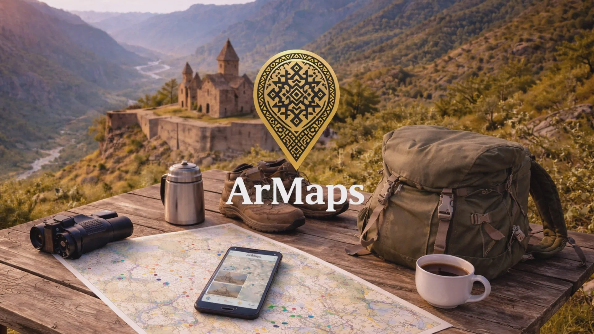
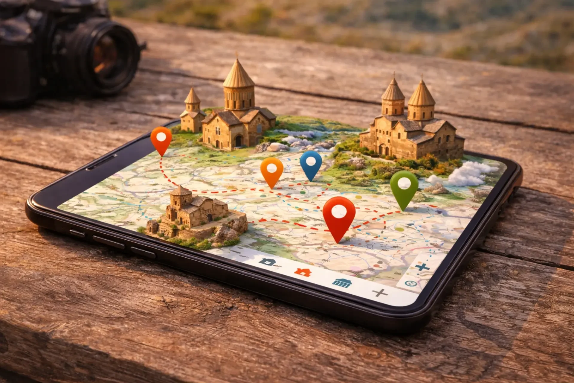
Interactive Sustainable Travel Map of Armenia and Georgia
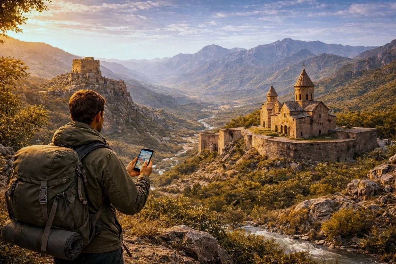
ArMaps is an interactive digital platform by HOVAK NGO that helps people discover Armenia’s cultural and natural heritage—and selected key sites in Georgia—through a map-first experience that combines routes, context, and multimedia in one place.

Why ArMaps exists
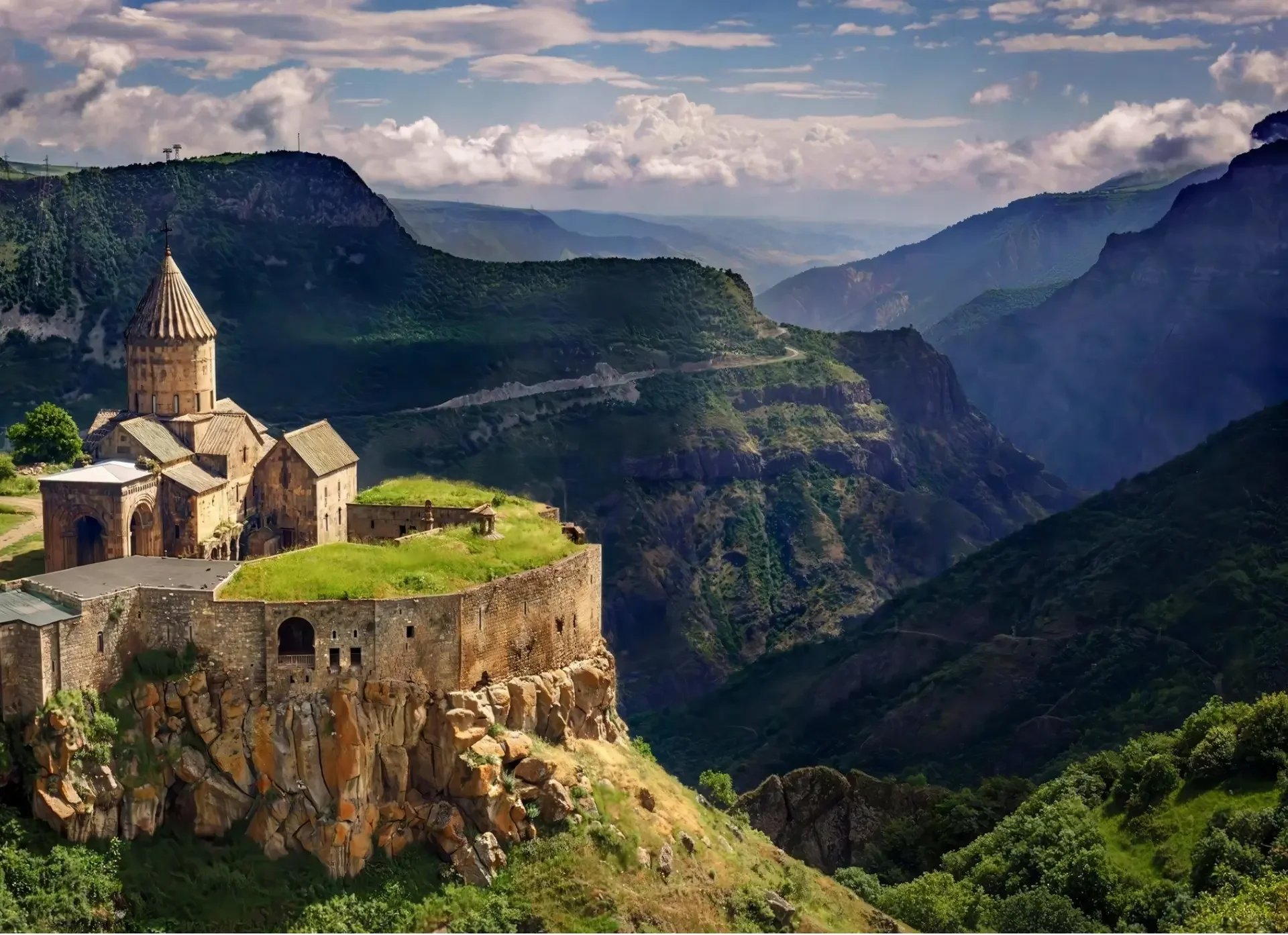
Armenia and Georgia are rich in heritage—churches, fortresses, monuments, museums, village routes, and landscapes. Yet hundreds of lesser-known sites remain invisible to tourists and even to many local residents. Information is often scattered across different sources, hard to verify, and difficult to use when planning a real trip.
Mainstream navigation apps may help you reach a pin, but they rarely provide the cultural and historical context that turns a location into a meaningful place. As a result, tourism flows concentrate around a few well-known destinations, while many regions remain under-visited—limiting local economic opportunities and reducing visitor engagement.
ArMaps addresses this gap by providing one user-friendly resource that brings together attractions, routes, photos, videos, and short explanations—so travel planning becomes easier, richer, and more responsible.
What ArMaps is
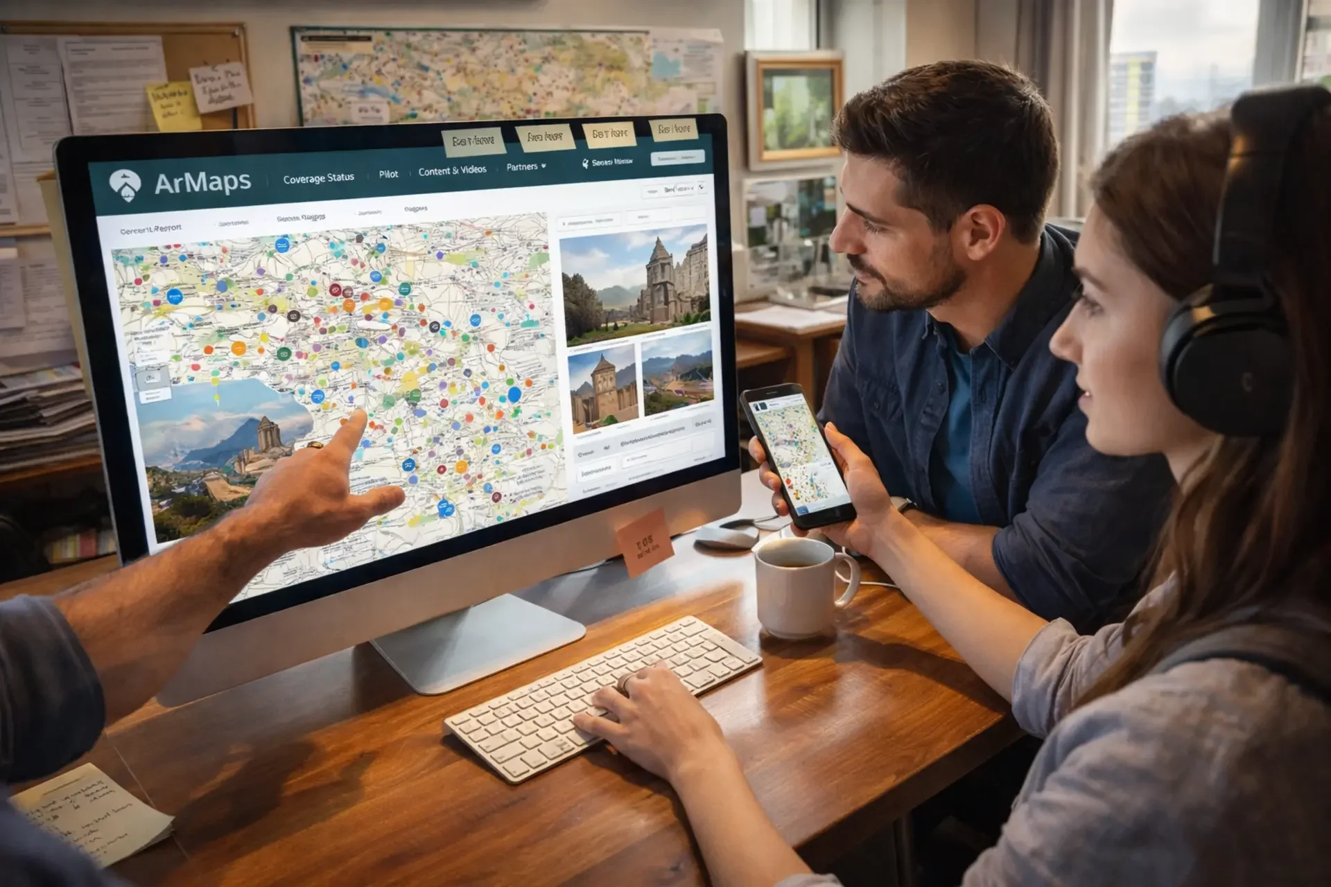
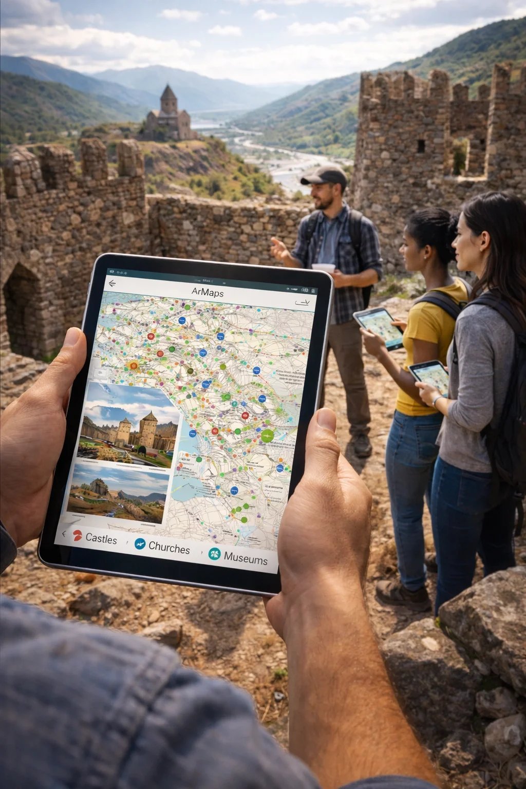
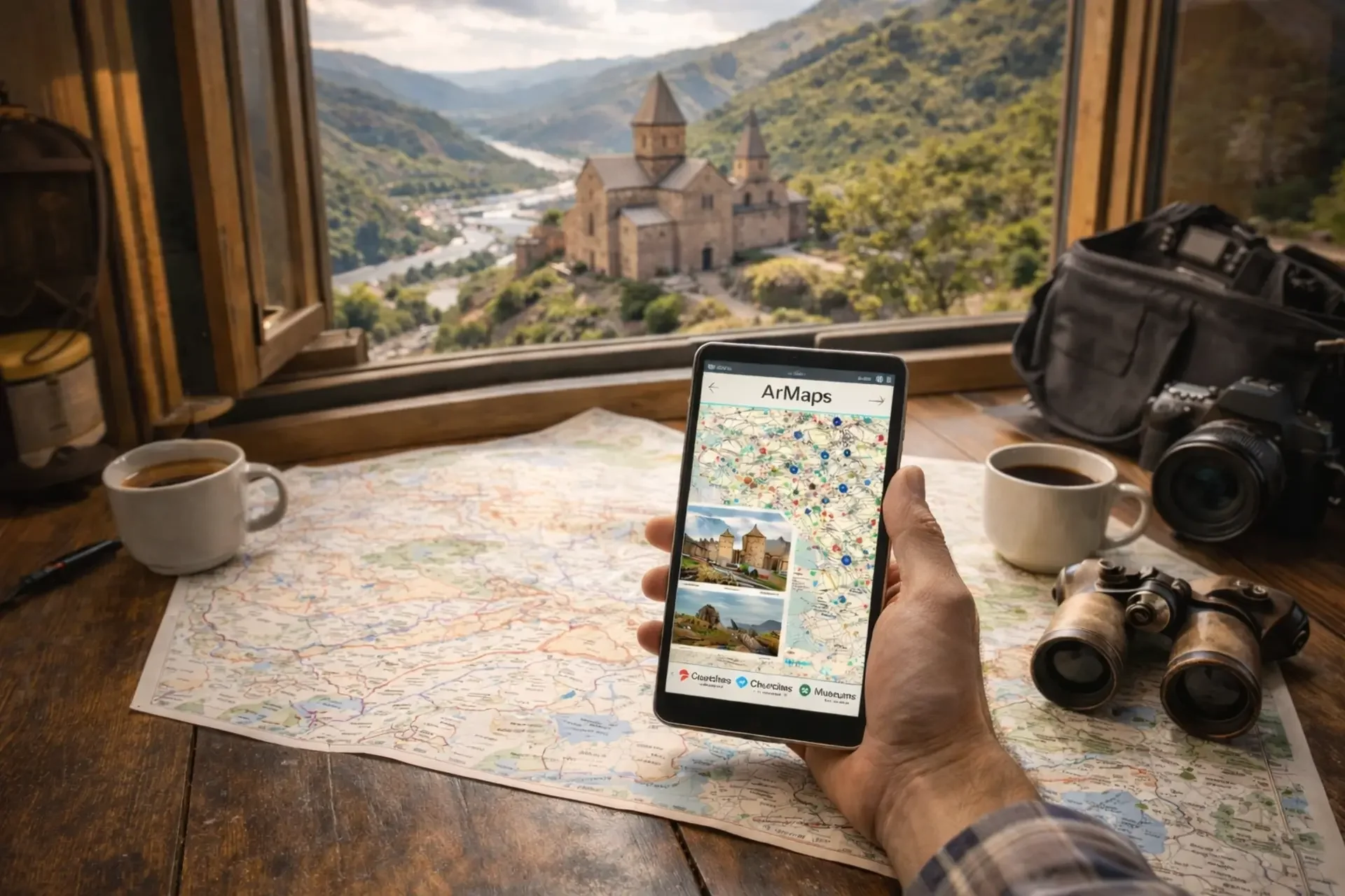
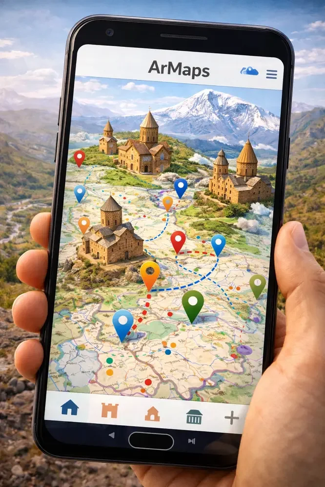
ArMaps is an interactive map platform featuring points of interest across Armenia and selected key sites in Georgia—designed for access via iOS, Android, and web browsers.
It combines three things that are usually separated:
Discovery — find places by category and interest
Planning — build routes that match real travel conditions
Understanding — access cultural/historical context and media directly inside the map
Core features
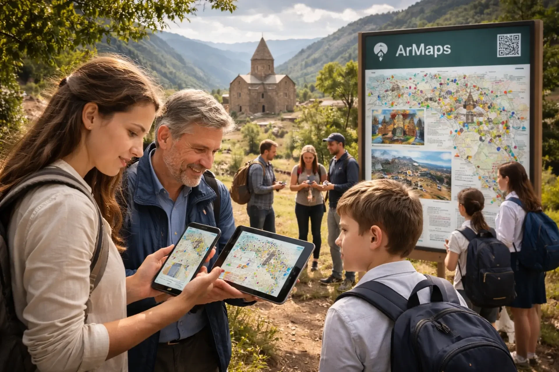
Map-based discovery with meaningful filters
Users can filter sites by type—such as churches, castles, monuments, museums—and explore destinations beyond the typical lists.
Route creation that reflects reality on the ground
ArMaps supports route planning that can include walking trails and off-road paths, not only standard road navigation—helping travelers plan better and explore safely.
Multimedia and “micro-stories” inside the map
Each location can include photos, videos, and short descriptions—so users gain context before they arrive and can appreciate what they’re seeing.
Cross-platform access
ArMaps is designed to be accessible on iOS, Android, and web, widening the audience and supporting different usage scenarios (trip planning at home vs. exploration on the road).
Who ArMaps serves
ArMaps is built for travelers, but it’s not only a tourist tool. The platform is designed to serve multiple groups:
Domestic and international tourists
Youth and students interested in culture and history
Tour operators, guides, and educational centers
Public institutions and local administrations
This multi-audience design matters because it supports both tourism development and cultural education—and helps turn heritage into something people can learn and care about.
What makes ArMaps different
1) Sustainable tourism by design
ArMaps is built to promote sustainable and responsible travel by making lesser-known destinations visible and easier to visit. When travelers can find and understand more places, tourism spreads beyond a few hotspots—supporting regional communities and reducing pressure on over-visited sites.
2) A digital public-good approach: culture + usability
ArMaps combines mapping technology with educational content and practical planning tools to create a product that people will actually use—while also contributing to cultural awareness, preservation, and respect.
3) Inclusive, user-friendly design
The platform is designed to be inclusive and accessible. Content and routes are structured for different audiences—tourists, families, students—and can incorporate accessibility-aware guidance where possible.
4) Accuracy through cooperation, not “random internet facts”
ArMaps is designed for collaboration with communities and institutions to ensure information is accurate, culturally sensitive, and beneficial for both locals and visitors.
How ArMaps creates change
ArMaps is not only a map—it’s infrastructure for better decisions.
By combining location data, categories, routes, and multimedia, users can explore sites both virtually and in person, plan more effectively, and travel more responsibly. At the same time, ArMaps strengthens:
cultural awareness by making heritage understandable,
digital literacy through a clear, modern user experience,
and regional cooperation by connecting Armenia and Georgia within one discovery framework.
Pilot-ready and scalable: a modular roadmap
ArMaps is intentionally structured so it can be funded and delivered in modules—depending on donor priorities, scope, and budget.
A typical implementation can follow a phased sequence:
Planning & design (platform structure, UX, content model)
Content collection (research + field documentation: photo/video + short texts)
Platform development (mobile + web, interactive map, filters, routing, media)
Testing & feedback (tourists, students, youth groups; iteration)
Refinement & launch
Promotion & outreach
Monitoring & evaluation
This structure can be implemented as a full program or as separate modules—for example:
a “content-first” phase (heritage database + media),
a “tech-first” phase (platform and core features),
an “education & outreach” phase (workshops, youth engagement, learning use-cases).
Measurable outcomes (examples of pilot targets)
We design ArMaps so impact can be documented in a clear and responsible way. Depending on the funded scope, pilot targets may include:
expanding content coverage (sites documented with photos, videos, and short descriptions),
engaging early users during pilot testing and initial public release,
building partnerships for validation and promotion,
involving students and youth groups through testing and learning activities.
Exact indicators are defined per funding framework. We avoid overpromising and commit to targets that can be responsibly verified.
Partnerships and ecosystem
ArMaps is strongest when built with the ecosystem—not in isolation. The project is designed to cooperate with:
cultural heritage authorities and expert bodies for validation,
tourism stakeholders and networks,
municipalities and local tourism offices to support data collection and community engagement,
educational institutions and youth organizations for testing and learning programs.
This approach increases accuracy, relevance, and long-term sustainability.
Why this matters for Armenia (and the region)
ArMaps helps preserve and promote heritage not only through words, but through real behavior: how people plan, where they go, and what they learn on the way.
It supports:
greater visibility and recognition of cultural heritage sites,
domestic and inbound tourism,
awareness of history and cultural preservation,
and economic activation of regional communities by distributing tourism benefits more fairly.

Designed for multiple funding pathways
ArMaps can align with many donor priorities—cultural heritage, education, youth engagement, digital innovation, regional cooperation, community resilience, and local economic development.
This page presents the core concept and long-term direction. Each grant or partner agreement defines the specific scope—geography, deliverables, timeline, procurement, and indicators—ensuring compliance and clear reporting for every funding framework.
Call to action
If you represent a municipality, cultural institution, educational organization, tourism network, or donor program and want to support sustainable tourism and heritage access, we welcome collaboration.
ArMaps is how we make hidden heritage visible—and turn travel into learning, respect, and local opportunity.

ArMaps FAQ
1) How is the information verified?
ArMaps uses a structured content workflow: locations are cross-checked against reliable sources, validated through partner feedback when available, and reviewed before publication. We also maintain an internal update log so corrections and improvements can be tracked over time.
2) Who creates the content (texts, photos, videos)?
Content is produced by the ArMaps team and, when applicable, through collaborations with local partners (municipalities, guides, cultural institutions, educational groups). We prioritize clear, respectful, and practical descriptions that help users understand a place—not just “sell” it.
3) How do you keep the data up to date?
We update content in cycles. Priority updates include: accessibility changes (roads/trails), opening hours and seasonal access, safety notes, and new points of interest. Users and partners can also submit corrections, which are reviewed before changes go live.
4) How do you choose which sites are included?
We use a mix of cultural value, regional balance, visitor interest, and feasibility of verification. ArMaps is designed to highlight both iconic heritage and lesser-known places—so tourism benefits can reach more communities.
5) Will ArMaps work offline?
ArMaps is designed to support offline-friendly use-cases. Depending on the version and implementation stage, this may include saving routes or key information for later access. Full offline functionality can be developed as a dedicated module if required by partners or funders.
6) How does ArMaps support sustainable tourism?
By making lesser-known sites discoverable and easier to plan, ArMaps helps distribute visitor flow beyond overcrowded hotspots. This supports regional economies and encourages more responsible travel behavior through better information and context.
7) How can municipalities or communities participate?
Local partners can help by suggesting priority locations, validating information, sharing local context, and supporting outreach. ArMaps can also feature region-focused collections and thematic routes co-created with local stakeholders.
8) How do schools and educational groups use ArMaps?
Schools can use ArMaps for project-based learning: local history assignments, geography lessons, cultural heritage projects, and field-trip planning. ArMaps can also run educational pilots with curated routes, learning prompts, and teacher-friendly materials.
9) What languages will ArMaps support?
ArMaps is designed to be multilingual. Language rollout depends on the implementation scope and partner priorities, with a focus on accessibility for both domestic users and international visitors.
10) How can donors or partners support ArMaps?
Support can take several forms: funding pilot coverage for a region, sponsoring content collection and verification, supporting platform development modules (e.g., offline features, accessibility layer), or enabling outreach with schools and communities. Each partnership includes clear deliverables and reporting aligned with the partner’s framework.